

Securing Your Lake's Future: How AI and Predictive Modeling Stop Invasive Weeds Before They Take Over
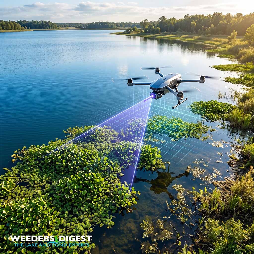 |

Summary:
Artificial intelligence and predictive modeling are revolutionizing the early detection of invasive aquatic weeds by analyzing vast amounts of satellite and drone imagery to pinpoint new infestations before they become unmanageable. Instead of waiting for invasive plants like water hyacinth or Eurasian watermilfoil to form massive, choking mats, lake managers can now rely on sophisticated algorithms that "learn" what these specific weeds look like from above. These technologies continuously scan water bodies, looking for the unique visual signatures of invasive vegetation. By catching an outbreak in its infancy, property owners and environmental managers can save immense amounts of time, money, and ecological damage.
In the past, monitoring a lake meant launching a boat and visually inspecting shorelines, hoping to spot a rogue fragment of an invasive plant. Now, AI shifts the paradigm from reactive to proactive. Predictive models take current detection data, factor in water temperatures, currents, and nutrient loads, and forecast exactly where the weed is likely to spread next. This gives stakeholders a clear map of the future, allowing them to target their mitigation efforts with pinpoint accuracy rather than broad, disruptive strokes.
During my time conducting vegetation surveys on large municipal reservoirs, the sheer scale of the water body often meant that by the time we physically spotted an invasive species tucked into a remote cove, it had already established a robust root system. Implementing drone flights paired with machine learning software completely transformed our workflow; instead of spending days blindly traversing the water, we received a morning report highlighting high-probability target zones, turning a needle-in-a-haystack search into a precise, targeted extraction mission that saved our team weeks of labor.
The Science Behind It:
The mechanics of identifying aquatic invasive species via artificial intelligence rely heavily on the synthesis of remote sensing technology and deep learning algorithms. Remote sensing utilizes Unmanned Aerial Vehicles (UAVs) or satellites to capture high-resolution optical, multispectral, and synthetic aperture radar data across complex aquatic landscapes. Because distinct plant species reflect light differently based on their cellular structure, chlorophyll concentration, and overall health, they create unique spectral signatures. Machine learning models, particularly Convolutional Neural Networks (CNNs), are trained on thousands of these spectral images. Through iterative processing, the CNN automatically learns the hierarchical visual features—such as texture, shape, and specific reflectance in the near-infrared bands—that separate a targeted invasive weed from native emergent or submerged vegetation.
The precision of these deep learning models has reached unprecedented levels, particularly when integrating spatial and temporal data. Research conducted by Lake et al. at the University of Minnesota demonstrated that a CNN trained on high-resolution Worldview-2 satellite imagery detected invasive plant species across heterogeneous landscapes with an accuracy of 96.1%. Furthermore, the researchers found that applying a Long Short-Term Memory (LSTM) network to leverage phenological changes across a time-series of lower-resolution Planetscope imagery actually increased the overall detection accuracy to 96.3%. This proves that observing the seasonal life cycle and growth patterns of a plant via predictive temporal modeling can overcome limitations in raw spatial resolution, creating highly robust detection frameworks.
Closer to the water's surface, UAV platforms combined with Object-Based Image Analysis offer localized, high-fidelity detection capabilities. According to a 2026 study published in the journal Bios, drones equipped with multispectral sensors and paired with machine learning algorithms proved highly adept at distinguishing target vegetation within mixed aquatic ecosystems. The study recorded a 91% effectiveness rate in identifying specific aquatic plants, such as lily pads, amidst a dense mosaic of other submerged vegetation, open water, and bank foliage. By measuring the "red-edge" inflection—the sharp increase in reflectance between red and near-infrared wavelengths—these localized models detect slight variances in canopy vigor that distinguish invasive intruders from native flora.
Ultimately, these data inputs feed into predictive modeling systems designed to enhance Early Detection and Rapid Response (EDRR) protocols. By correlating the confirmed presence of an invasive species with environmental variables such as bathymetry, flow rates, and nutrient availability, predictive models calculate the probability of spread to contiguous habitats. This spatial forecasting allows for the optimized allocation of physical and chemical management resources, ensuring interventions are deployed exactly where and when they will be most biologically disruptive to the invasive organism. By utilizing data-driven precision, aquatic ecologists can mitigate ecological degradation while vastly reducing the environmental footprint of traditional weed management strategies.
Sources / References:
- Lake, T. A., Briscoe Runquist, R. D., & Moeller, D. A. (2024). Deep learning detects invasive plant species across complex landscapes using Worldview-2 and Planetscope satellite imagery. Experts@Minnesota. https://experts.umn.edu/en/publications/deep-learning-detects-invasive-plant-species-across-complex-lands
- BioOne. (2026). Using Machine Learning to Quantifying the Spread and Identification of Aquatic Species in a Water Body in Northeast Louisiana. Bios. https://bioone.org/journals/bios/volume-97/issue-1/BIOS-D-25-00006/Using-Machine-Learning-to-Quantifying-the-Spread-and-Identification-of/10.1893/BIOS-D-25-00006.full