

Why Your Lake’s Hidden Bottom is Wasting Your Weed Treatment Budget
 |

Summary:
Bathymetric surveys map the underwater contours of a lake to calculate the exact water volume, ensuring that aquatic herbicide and algaecide treatments are dosed perfectly. Without knowing the exact volume of water you are treating, you run the risk of either over-applying chemicals and harming the ecosystem, or under-applying and failing to kill the target weeds. Imagine trying to add the right amount of sugar to a pitcher of iced tea without knowing if the pitcher holds one quart or one gallon; treating a lake without an accurate survey is the exact same guessing game, just with expensive ecology on the line.
As a Certified Lake Manager, I have walked onto countless properties where the homeowners association was incredibly frustrated by failed weed treatments. They usually slide an old, faded paper map from thirty years ago across the table and wonder why their current expensive herbicide treatment didn't touch their milfoil problem. Once we launch the boat and actually ping the lakebed with modern acoustic sonar, we almost always find that decades of sediment buildup and decaying leaves have drastically shrunk the lake's total depth. The field reality is that relying on outdated depth charts is the number one reason aquatic weed control fails, leaving communities paying for chemicals that simply wash away or dilute incorrectly.
Taking the time to map the bottom of your pond before backing a spray rig up to the shoreline takes the guesswork out of the equation. By calculating the true volume, you know exactly how many acre-feet of water exist on that specific day. This ensures you only buy the exact amount of product you need, protecting both your wallet and the native fish swimming below.
The Science Behind It:
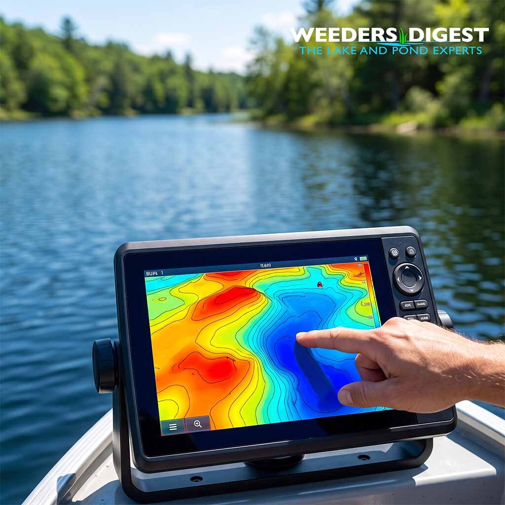
Bathymetry is the foundational study of underwater depth and lakebed topography, functioning essentially as the underwater equivalent of terrestrial topographic mapping. Modern bathymetric surveys employ single-beam or multi-beam acoustic echo sounders integrated with Real-Time Kinematic Global Positioning Systems (RTK-GPS). These instruments continuously emit acoustic pulses that reflect off the benthic zone—the lowest ecological region in a body of water, including the sediment surface. By measuring the precise time it takes for the acoustic signal to return to the surface receiver, combined with exact geographic coordinates, limnologists generate high-resolution, three-dimensional models of a lake basin. This continuous data collection allows for the creation of precise depth contours, or isobaths, which are essential for understanding the morphometric characteristics of an aquatic ecosystem.
The fundamental imperative for generating these high-resolution models lies in the calculation of whole-lake or localized water volume, typically expressed in acre-feet or cubic meters. Aquatic herbicides and algaecides require highly specific target concentrations, measured in parts per million (ppm) or parts per billion (ppb), to achieve lethality against invasive macrophytes or harmful algal blooms. The mathematical formula for determining the necessary mass of an active ingredient mandates an accurate volumetric multiplier. If the calculated volume is artificially inflated due to outdated depth data, the resulting chemical application will exceed the label rate, potentially causing acute toxicity to non-target flora and fauna. Conversely, an underestimated volume results in sublethal dosing, which fails to eradicate the target species and accelerates the development of herbicide-resistant weed phenotypes.
Lake basins are highly dynamic environments subject to constant morphological changes, primarily driven by allochthonous sediment loading—the influx of soils and organic matter from the surrounding watershed. Consequently, historical engineering blueprints or decades-old depth charts are consistently inaccurate for modern volume calculations. A peer-reviewed bathymetric survey study analyzing lake volume via Geographic Information Systems (GIS) and Triangulated Irregular Network (TIN) modeling quantified this rapid topographical shift. The research documented an 18.2% reduction in a specific lake basin's water holding capacity over a brief five-year period, with the original design volume of 89,200 cubic meters shrinking to 72,966 cubic meters due solely to natural sediment accumulation. Utilizing the original volumetric data for a modern chemical treatment in that ecosystem would have resulted in an 18.2% chemical overdose.
Similar discrepancies are frequently identified when transitioning from historical municipal data to modern acoustic surveying methods in recreational waterbodies. An acoustic-based bathymetric study conducted on Lake Ellwood in Wisconsin highlighted the severe volumetric inaccuracies that plague long-term aquatic management plans. The acoustic survey revealed that the actual lake volume was approximately 500 acre-feet—a 26% reduction—less than the volume calculated using the historical 1968 agency bathymetric data. Because the lake managers were utilizing 2,4-D herbicides to control invasive Eurasian watermilfoil, discovering this 26% volumetric deficit was highly critical. Treating a lake based on the historical 1,900 acre-feet parameter rather than the true parameter would have led to vast resource waste and disrupted the ecological balance of the native littoral zone.
Ultimately, integrating routine bathymetric surveys into limnological management is an indispensable requirement for responsible chemical stewardship. Beyond simple volume calculations, precise mapping identifies distinct submerged geographical features such as deep depositional pools, subsurface ridges, and littoral drop-offs. Understanding these benthic structures allows applicators to model thermal stratification and predict how water currents will distribute a dissolved herbicide throughout the water column. By grounding chemical treatment protocols in exact, real-time spatial data, environmental managers ensure maximum efficacy against invasive aquatic species while rigorously defending the overall biological integrity of the watershed.